
 | ||
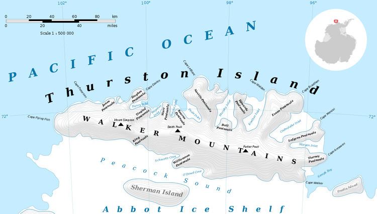
Mount Dowling (72°31′S 98°3′W) is a small mountain overlooking the south coast of Thurston Island, about 13 nautical miles (24 km) east of Von der Wall Point. It was mapped by the United States Geological Survey from surveys and U.S. Navy air photos, 1960–66, and was named by the Advisory Committee on Antarctic Names for Forrest L. Dowling, a geophysicist at Byrd Station, 1960–61.
Contents
Map of Mount Dowling, Antarctica
Maps
References
Mount Dowling Wikipedia(Text) CC BY-SA