
Topo map USGS Afognak D-5 Volcanic arc/belt Aleutian Arc Prominence 1,920 m Mountain range Aleutian Range | Elevation 2,140 m Parent range Aleutian Range | |
 | ||
Listing US most prominent peaks 51st Similar Mount Chiginagak, Mount Griggs, Korovin Volcano, Isanotski Peaks, Mount Vsevidof | ||
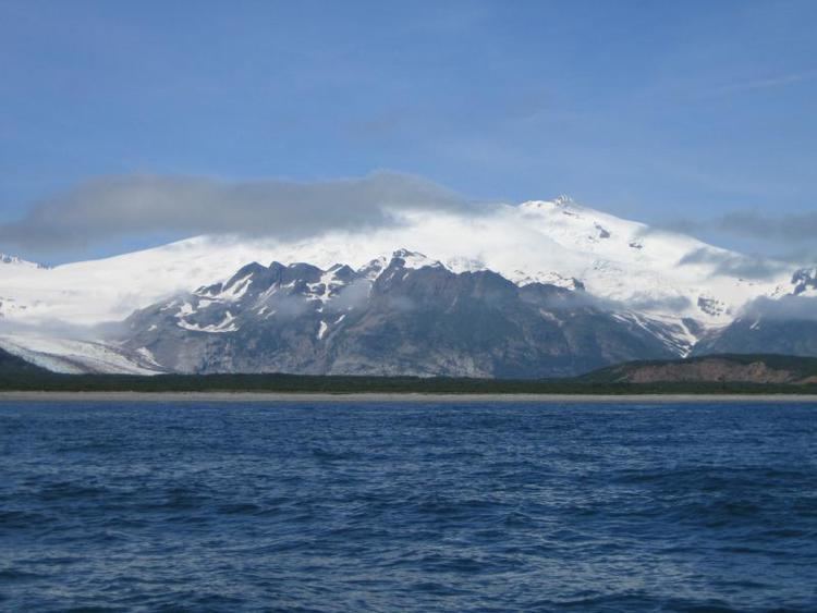
Mount Douglas is a stratovolcano located south of Kamishak Bay, near the northeasternmost part of the Alaska Peninsula. It lies in the Katmai National Park and Preserve in Kenai Peninsula Borough. The mountain was officially named in 1906 after nearby Cape Douglas based on a 1904 report by USGS geologist G. C. Martin. The Alaska Volcano Observatory currently rates Douglas as Level of Concern Color Code Not Assigned.
Map of Mt Douglas, Alaska, USA
The volcano has a warm and highly acidic crater lake approximately 160 m (525 ft) wide. In 1992, the lake had a temperature of 21 °C and a pH of 1.1. At the north flank of the volcano unglaciated and relatively uneroded lava flows are found. The last eruption was considered to have occurred during the Holocene (Nye et al.,1998).
References
Mount Douglas (Alaska) Wikipedia(Text) CC BY-SA