
 | ||
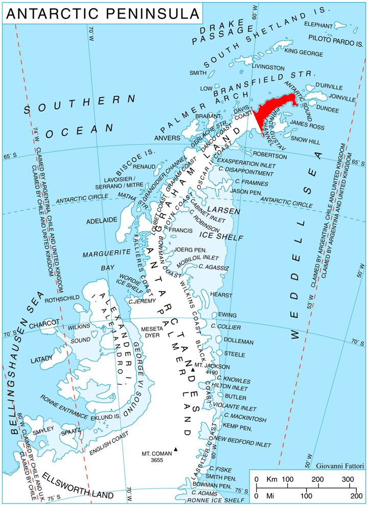
Mount Daimler (63°45′S 58°29′W) is one of the highest points of the rock massif of Trakiya Heights between Russell East Glacier and Victory Glacier, situated 3.87 km east-southeast of Irakli Peak and 3 nautical miles (6 km) south of Mount Canicula, Trinity Peninsula. It was mapped from surveys by the Falkland Islands Dependencies Survey (1960–61), and named by the UK Antarctic Place-Names Committee for Gottlieb Daimler, a German engineer who developed the light-oil medium speed internal combustion engine which made possible the first commercial production of light mechanical land transport, 1883–85.
Contents
Map of Mount Daimler, Antarctica
Map
References
Mount Daimler Wikipedia(Text) CC BY-SA