
Isolation 23 kilometres (14 mi) Elevation 4,196 m Prominence 2,351 m | First ascent 1953 | |
 | ||
Listing North America highest peaks 79thNorth America prominent peak 48thCanada highest major peaks 16thUS highest major peaks 61st Similar Mount Hubbard, Mount Alverstone, McArthur Peak, Atna Peaks, Mount Vancouver | ||
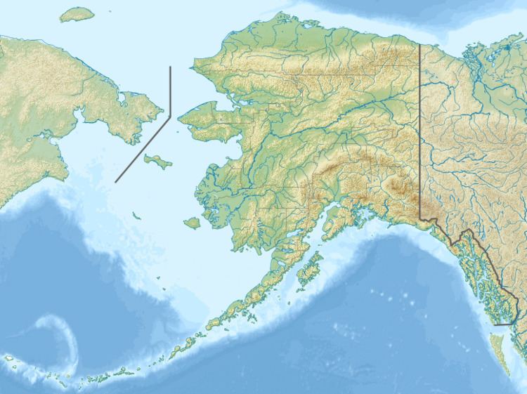
Mount Cook (or Boundary Peak 182) is a high peak on the Yukon Territory-Alaska border, in the Saint Elias Mountains of North America. It is approximately 15 miles southwest of Mount Vancouver and 35 miles east-southeast of Mount Saint Elias. It forms one of the corners of the jagged border, which is defined to run in straight lines between the major peaks. The same border also separates Kluane National Park in the Yukon Territory from Wrangell-St. Elias National Park and Preserve in Alaska.
Map of Mt Cook
Like many peaks of the Saint Elias Mountains, Mount Cook is a massive peak, with a large rise above local terrain. For example, the southwest face drops 10,000 feet (3,048 m) to the Marvine Glacier in approximately 4 miles (6.4 km). It is also quite close to tidewater: Disenchantment Bay is less than 18 miles (29 km) from the summit.
Mount Cook was first climbed in 1953. It is not often climbed due to its remoteness, the size of the mountain, the typically poor weather (due to its proximity to the ocean), and the fact that it is not one of the highest peaks of the range. In fact there are only four references to the peak in the complete index of the American Alpine Journal.