
Local authority Local time Monday 11:31 AM | Population 5,112 (2013) Northeast Mount Victoria Southwest Brooklyn | |
 | ||
Weather 17°C, Wind N at 51 km/h, 77% Humidity Points of interest National War Memorial, New Zealand Dominion, The Great War Exhibition, New Zealand Cricket M, Nairn Street Cottage | ||
The suburb of Mount Cook in Wellington in New Zealand stands on the southern fringe of the central city alongside Te Aro and to the north of Newtown. At the time of the 2013 census it had a population of 5,112, an increase of 261 people since 2006.
Contents
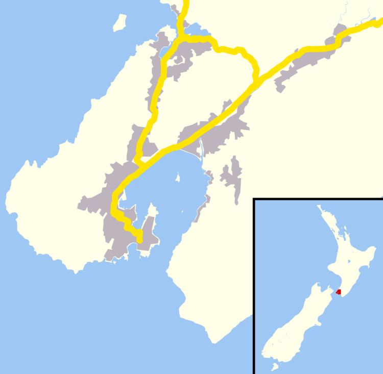
Map of Mount Cook, Wellington, New Zealand
The suburb contains a small hill named Mount Cook, the origin-point of the original survey marks through Wellington. The hill took its name from Captain James Cook.
Mount Cook's institutions include the Colonial Cottage Museum, the Wellington campus of Massey University and the National War Memorial.
Education
Universities
Mount Cook has one university Massey University Wellington Campus with the main campus being in Palmerston North and with other campuses being in Auckland and in Christchurch
References
Mount Cook, Wellington Wikipedia(Text) CC BY-SA