
Elevation 2,749 m Prominence 2,429 m | First ascent 1963 | |
 | ||
Listing North America prominent peak 41stNorth America isolated peaks 19th Topo map USGS Mount Michelson B-2 Easiest route West Ridge: glacier/snow climb, Alaska Grade 1; class 2 hike if route is ice-free Similar Mount Isto, Mount Igikpak, Mount Marcus Baker, Mount Kimball, Mount Crillon | ||
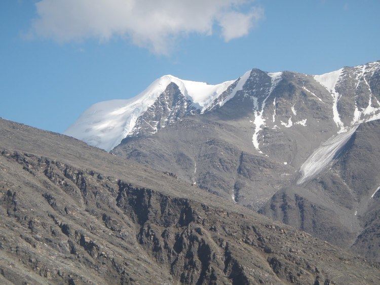
Mount Chamberlin is the third highest peak in the Brooks Range, Alaska, USA. Located in what are known as the Franklin Mountains of the Brooks Range, Mount Chamberlin is 30 miles (48 km) west-northwest of Mount Isto, the tallest peak in the Brooks Range. Mount Chamberlin is within the Arctic National Wildlife Refuge and was named for Thomas Chrowder Chamberlin (1843-1928), geologist of the Peary Auxiliary Expedition of 1894. Previously believed to be the highest peak in the Brooks Range, in 2014 new measurement technology established that Mount Chamberlin is the third highest peak in the range.
Map of Mt Chamberlin, Alaska, USA
References
Mount Chamberlin (Alaska) Wikipedia(Text) CC BY-SA