
Country United States Time zone CST (UTC-6) GNIS feature ID 0429402 Area 97.41 km² Population 2,279 (2010) | ZIP codes 61053, 61074, 61285 Elevation 246 m Local time Sunday 5:04 PM | |
 | ||
Weather 13°C, Wind SE at 31 km/h, 43% Humidity Points of interest Raven's Grin Inn, Carroll County Hist Society, Point Rock Park | ||
Mount Carroll Township is one of twelve townships in Carroll County, Illinois, USA. As of the 2010 census, its population was 2,279 and it contained 1,101 housing units.
Contents
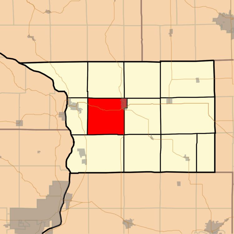
- Map of Mt Carroll Township IL USA
- Geography
- Cities
- Unincorporated towns
- Cemeteries
- Major highways
- School districts
- Political districts
- Notable residents
- References
Map of Mt Carroll Township, IL, USA
Geography
According to the 2010 census, the township has a total area of 37.61 square miles (97.4 km2), of which 37.53 square miles (97.2 km2) (or 99.79%) is land and 0.07 square miles (0.18 km2) (or 0.19%) is water.
Cities
Unincorporated towns
(This list is based on USGS data and may include former settlements.)
Cemeteries
The township contains these three cemeteries: Center Hill, Oak Hill and Wacker.
Major highways
School districts
Political districts
Notable residents
Notable people from the rural portion of Mount Carroll Township include First Lady of Illinois Bina Deneen (1868-1950), who was born and raised there.
References
Mount Carroll Township, Carroll County, Illinois Wikipedia(Text) CC BY-SA