
Elevation 890 m | ||
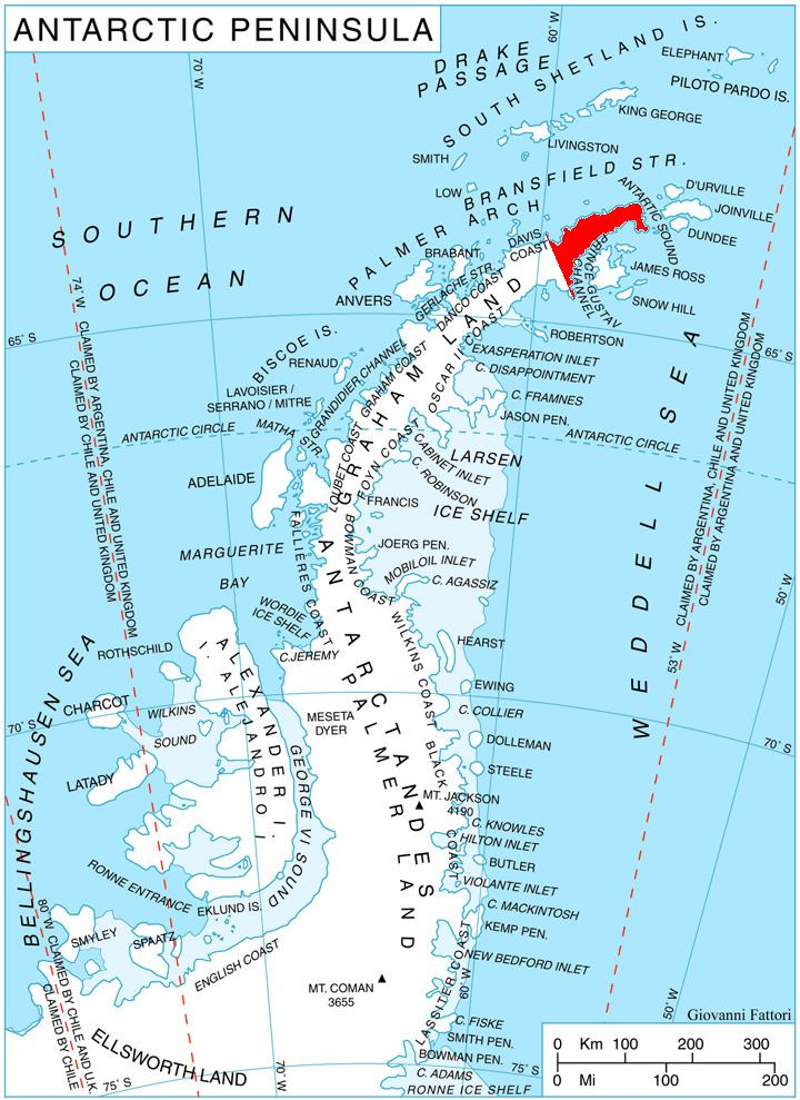 | ||
Mount Canicula (63°43′S 58°30′W) is a mountain formed of two rock peaks, 890 and 825 metres (2,920 and 2,710 ft) high. It stands 3 nautical miles (6 km) east of Sirius Knoll on the divide separating Russell East Glacier and Russell West Glacier in central Trinity Peninsula, and is linked to Louis-Philippe Plateau to the north by Verdikal Gap, and to Trakiya Heights to southwest by Srem Gap. It was charted in 1946 by the Falkland Islands Dependencies Survey, and named by them because of the association with Sirius Knoll: Canicula is a synonym of Sirius, the dog star.
Contents
Map of Mount Canicula, Antarctica
Map
References
Mount Canicula Wikipedia(Text) CC BY-SA