
 | ||
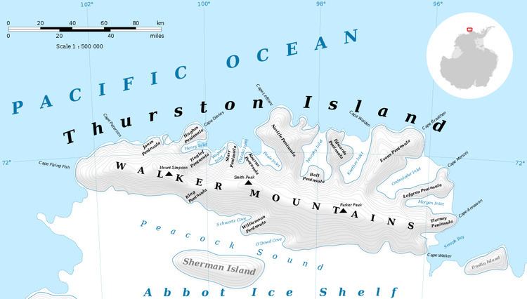
Mount Caldwell is a peak of the Walker Mountains, located 3 nautical miles (6 km) southeast of Mount Lopez, near the western end of Thurston Island. It was delineated from air photos taken by U.S. Navy Operation Highjump in December 1946, and named by the Advisory Committee on Antarctic Names for Captain Henry Howard Caldwell, U.S. Navy, captain of the seaplane tender Pine Island which explored the area during this expedition. Caldwell and six others survived a December 30, 1946 crash of a seaplane at Thurston Island.
Contents
Map of Mount Caldwell, Antarctica
Maps
References
Mount Caldwell Wikipedia(Text) CC BY-SA