
Postcode(s) 4312 Mount Byron Mount Pleasant | Postal code 4312 | |
 | ||
Mount Byron is a rural locality and a mountain in the Somerset Region, Queensland, Australia.
Contents
Map of Mount Byron QLD 4312, Australia
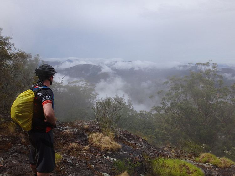
The rugged terrain of the D'Aguilar Range in the east is protected within the D'Aguilar National Park. Mount Byron reaches elevations greater than 600 m above sea level. Lower elevations along Byron Creek, a tributary of the Stanley River, have been cleared of vegetation.
History
The locality takes its name from the mountain. Brown & Broad operated a timber sawmill at Mount Byron around 1912. By 1923 Raymond & Hossack were also operating a timber mill in the area. Mining operations commenced in 1918. Mount Byron State School opened on 29 May 1919 and closed on 17 January 1930. A large bushfire occurred in October 1926.
References
Mount Byron, Queensland Wikipedia(Text) CC BY-SA