
Population 484 (2011 census) Time zone AEST (UTC+10) Postal code 2484 | Postcode(s) 2484 Elevation 933 m Local time Monday 8:40 AM | |
 | ||
Weather 23°C, Wind NE at 11 km/h, 94% Humidity | ||
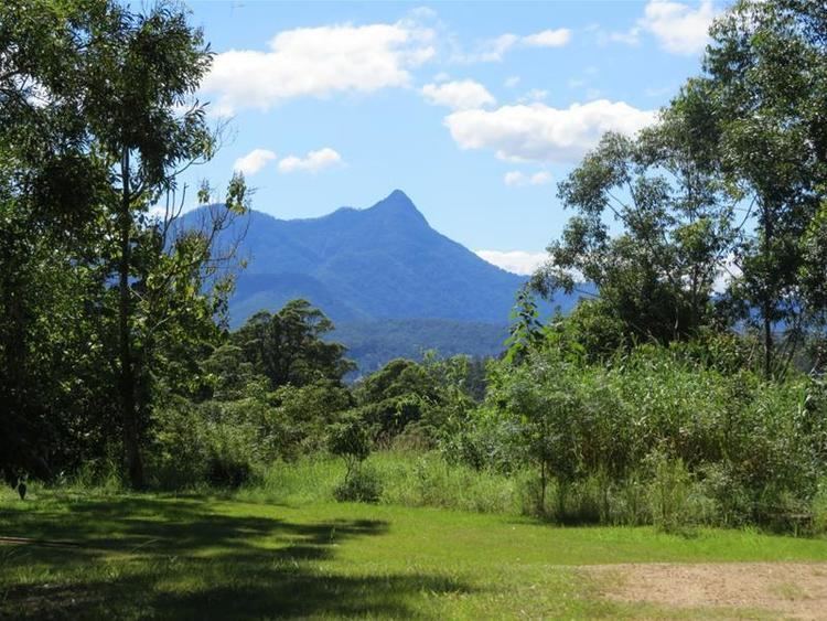
Mount Burrell is a town and a mountain in the Nightcap Range that is located in the Tweed Shire in the Northern Rivers region of New South Wales, Australia.
Contents
Map of Mount Burrell NSW 2484, Australia
The peak of Mount Burrell has an elevation of 933 metres (3,061 ft) above sea level, approximately 8 kilometres (5.0 mi) north of Nimbin.
Demographics
In the 2011 census the population of Mount Burrell was 484, with 49.8% female and 50.2% male. The median age of the Mount Burrell population was 47 years of age, 10 years above the Australian median. 77.9% of people living in Mount Burrell were born in Australia. The other top responses for country of birth were England 5%, New Zealand 2.9%, Germany 1.2%, Switzerland 1%, Fiji 0.8%, and 10.9% other countries. 91.9% of people spoke only English at home; the next most common languages were 1.7% German, 1% Dutch, 1% African Languages, 3.7% other languages.