
 | ||
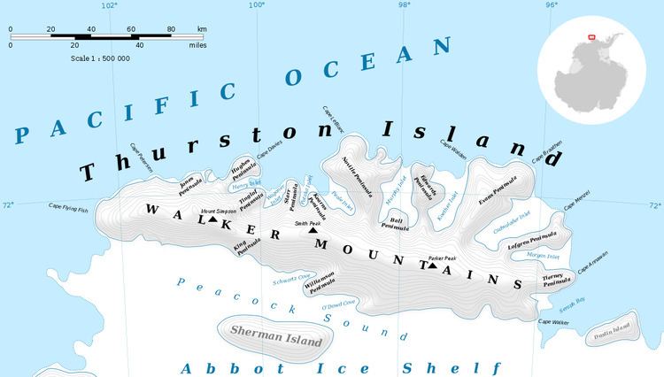
Mount Bubier is a mountain visible from seaward, its summit about 4 nautical miles (7 km) south of the northern tip of Edwards Peninsula on Thurston Island. It was first delineated from air photos taken by U.S. Navy Operation Highjump in December 1946, and named by the Advisory Committee on Antarctic Names for Kennard F. Bubier, an aviation mechanic on the Byrd Antarctic Expedition in 1928–30.
Contents
Map of Mount Bubier, Antarctica
Maps
References
Mount Bubier Wikipedia(Text) CC BY-SA