
 | ||
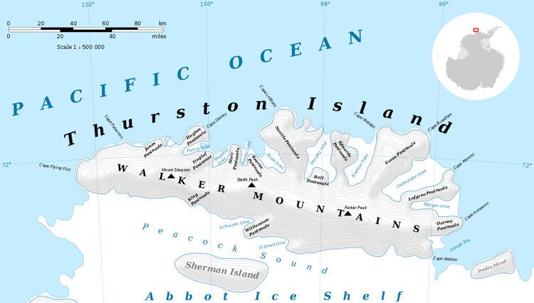
Mount Bramhall (72°15′S 98°16′W) is a peak of the Walker Mountains, located 5 nautical miles (9 km) east of Mount Hawthorne on Thurston Island. It was first delineated from aerial photographs taken by U.S. Navy Operation Highjump in December 1946, and named by the Advisory Committee on Antarctic Names for Dr. E.H. Bramhall, a physicist of the Byrd Antarctic Expedition in 1933–35.
Contents
Map of Mount Bramhall, Antarctica
Maps
References
Mount Bramhall Wikipedia(Text) CC BY-SA