
 | ||
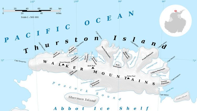
Mount Borgeson (72°12′S 99°0′W) is a peak 5 nautical miles (9 km) east-southeast of Smith Peak in the Walker Mountains of Thurston Island. It was first delineated from air photos taken by U.S. Navy Operation Highjump, 1946–47, and named by the Advisory Committee on Antarctic Names for Warren T. Borgeson, a topographic engineer with the U.S. Navy Bellingshausen Sea Expedition, who established geodetic control points in this area in February 1960.
Contents
Map of Mount Borgeson, Antarctica
Maps
References
Mount Borgeson Wikipedia(Text) CC BY-SA