Established 1999 Time zone ACST (UTC+9:30) Mean max temp Mean min temp | Postcode(s) 5275 Postal code 5275 | |
 | ||
Location 269 km (167 mi) from Adelaide city centre 112 km (70 mi) from Mount Gambier | ||
Mount Benson is a locality in the Australian state of South Australia located on the state’s south-east coast overlooking Guichen Bay which is part of the body of water known in Australia as the Southern Ocean and by international authorities as the Great Australian Bight. It is about 269 kilometres (167 mi) south-east of the Adelaide city centre and 112 kilometres (70 mi) north-west of the centre of Mount Gambier.
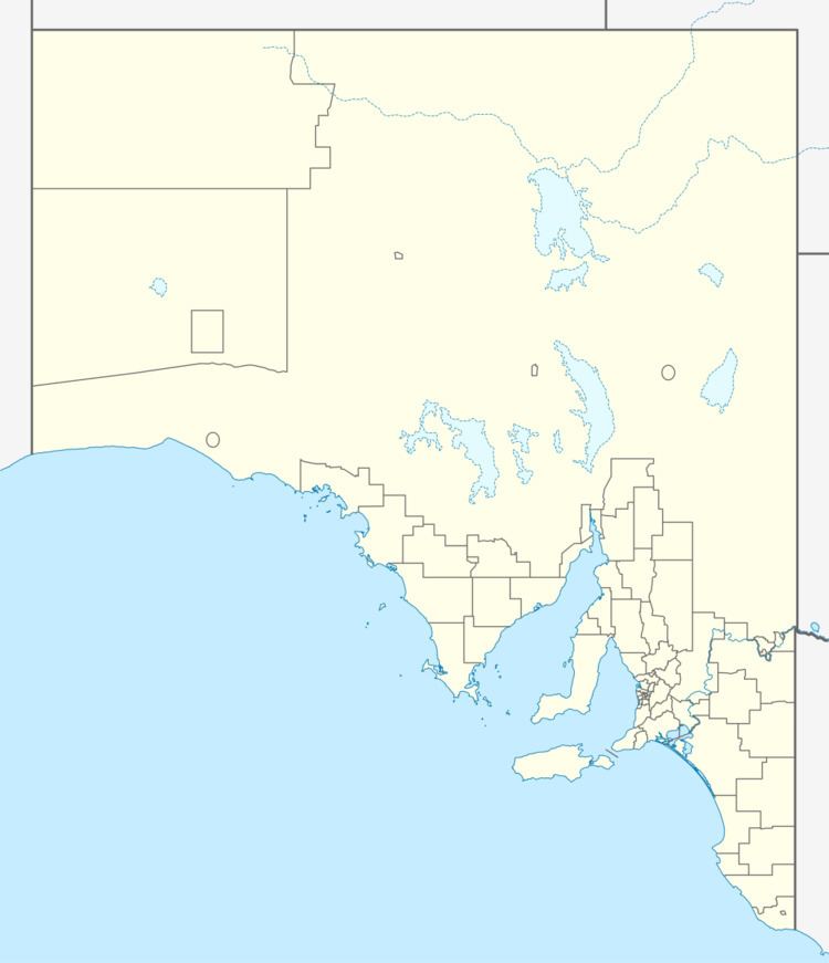
Map of Mount Benson SA 5275, Australia
Boundaries were created in December 1998 for the “long established name” whose ultimate source is a stockman named Benson who was employed by the pastoralist, Charles Bonney, and whose name was given to the hill called Mount Benson by Charles Bonney according to one source while another source indicates that the hill was named by George Grey, the then Governor of South Australia. A school operated within what is now the locality between the years 1887 and 1970.
The locality contains the hill of the same name and is within the extent of the wine region of the same name. The Southern Ports Highway passes through the locality.
The majority land use within the locality is agriculture with the land adjoining the coastline being zoned for conservation. The latter includes the protected area known as the Guichen Bay Conservation Park.
Mount Benson is located within the federal division of Barker, the state electoral district of MacKillop and the local government area of the District Council of Robe.
