
Time zone CST (UTC-6) Area 118.6 km² Population 1,028 (2010) | Established November 7, 1865 Elevation 181 m Local time Sunday 3:36 PM | |
 | ||
ZIP codes 62513, 62515, 62531, 62545, 62547, 62563 Weather 14°C, Wind S at 23 km/h, 43% Humidity | ||
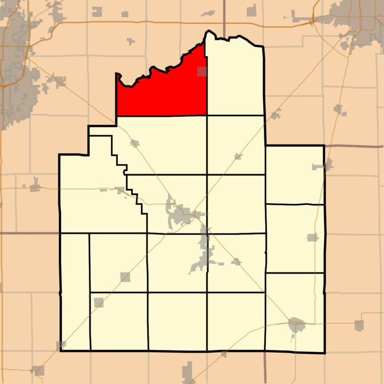
Mount Auburn Township is one of seventeen townships in Christian County, Illinois, USA. As of the 2010 census, its population was 1,028 and it contained 458 housing units.
Contents
- Map of Mt Auburn Township IL USA
- Geography
- Cities towns villages
- Unincorporated towns
- Cemeteries
- Airports and landing strips
- School districts
- Political districts
- References
Map of Mt Auburn Township, IL, USA
Geography
According to the 2010 census, the township has a total area of 45.78 square miles (118.6 km2), of which 45.74 square miles (118.5 km2) (or 99.91%) is land and 0.03 square miles (0.078 km2) (or 0.07%) is water.
Cities, towns, villages
Unincorporated towns
Cemeteries
The township contains these five cemeteries: Furrow, Grove City Methodist, Hinckle, Milligan and Mount Auburn.
Airports and landing strips
School districts
Political districts
References
Mount Auburn Township, Christian County, Illinois Wikipedia(Text) CC BY-SA