
Topo map USGS Mount Angeles Prominence 492 m | Elevation 1,967 m | |
 | ||
Similar Mount Deception, Mount Constance, Mount Olympus, Mount Anderson, Mount Townsend | ||
Wintertime mount angeles summit trip
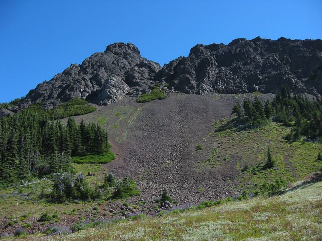
Mount Angeles is located just south of Port Angeles, Washington in the Olympic National Park. It is the highest peak in the Hurricane Ridge area. The summit, which offers panoramic views of the Strait of Juan de Fuca and many of the peaks of the interior Olympic Mountains can be climbed from the Klahane Ridge trail.
Contents
Map of Mt Angeles, Washington 98363, USA
The southeast side of Mount Angeles drains into Morse Creek, thence into the Strait of Juan de Fuca a couple of miles east of Port Angeles. The northeast side of Mount Angeles drains into Ennis Creek, thence into Port Angeles Harbor. The north and west sides of Mount Angeles drain into the South Branch of Little River, thence into the Elwha River and into Juan de Fuca in the Lower Elwha Indian Reservation, a few miles west of Port Angeles.