
Isolation 1.37 mi (2.20 km) Elevation 4,057 m | Easiest route Class 3 scramble Prominence 259 m | |
 | ||
Location Rocky Mountain National Park adjacent to Continental Divide between Boulder and Grand counties, Colorado, U.S. Topo map USGS 7.5' topographic mapIsolation Peak, Colorado Similar Fairchild Mountain, Mount Chiquita, Mount Julian, Mount Meeker, Mummy Mountain | ||
Mount Alice is a high mountain summit in the northern Front Range of the Rocky Mountains of North America. The 13,315-foot (4,058 m) thirteener is located in the Rocky Mountain National Park Wilderness, 12.0 miles (19.3 km) southwest by south (bearing 217°) of the Town of Estes Park, Colorado, United States, immediately east of the Continental Divide between Boulder and Grand counties. Just who the namesake Alice was is unclear, but according to one source she was likely a "woman of ill repute".
Contents
Map of Mt Alice, Colorado 80510, USA
ClimbingEdit
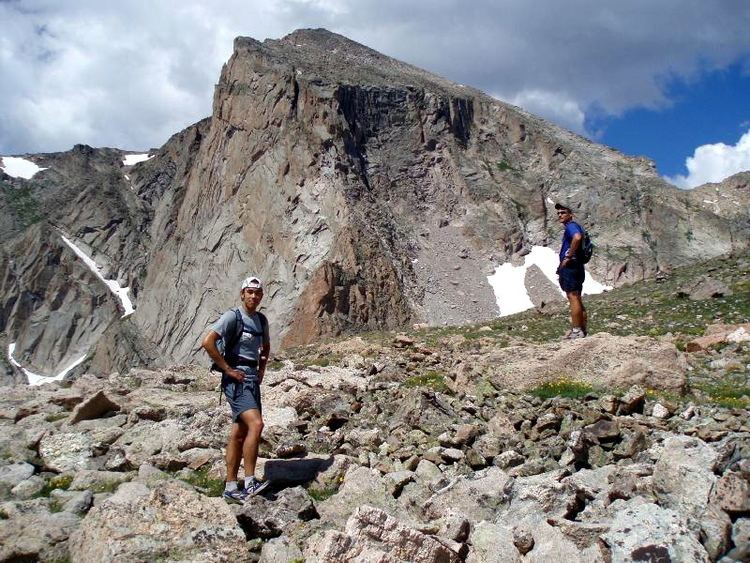
The standard routes to the summit can be climbed in a long day out of Wild Basin. Most climbers ascent via Hourglass Ridge above Lion lakes or else via Boulder Grand Pass above Thunder Lake. Both are class 3 routes and do not require any technical moves.