
Time zone BST (UTC+6) Area 344.3 km² | Postal code 3200 Local time Monday 1:32 AM | |
 | ||
Weather 21°C, Wind NE at 5 km/h, 66% Humidity | ||
Moulvibazar Sadar (Bengali: মৌলভীবাজার সদর) is an Upazila of Moulvibazar District in the Division of Sylhet, Bangladesh.
Contents
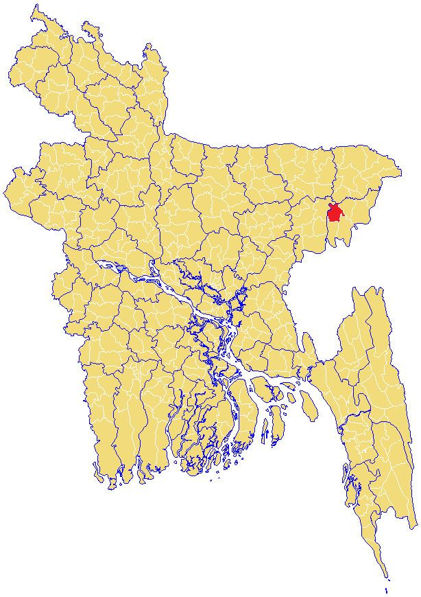
- Map of Moulvibazar Sadar Upazila Bangladesh
- Geography
- Union Parishads
- Demographics
- Administration
- Education
- References
Map of Moulvibazar Sadar Upazila, Bangladesh
Geography
Moulvibazar Sadar is located at 24.4778°N 91.7667°E / 24.4778; 91.7667. It has 40573 households and total area 344.34 km².
Union Parishads
The upazila has 12 Union Parishads or UPs. They are as follow:
Demographics
As of the 1991 Bangladesh census, Moulvibazar Sadar has a population of 239378. Males constitute 51.56% of the population, and females 48.44%. This Upazila's eighteen up population is 126303. Moulvibazar Sadar has an average literacy rate of 36.1% (7+ years), and the national average of 32.4% literate.
Administration
Moulvibazar Sadar has 12 Unions/Wards, 229 Mauzas/Mahallas, and 419 villages. Moulvibazar Govt. High School is the oldest one in the district
Education
According to Banglapedia, Ali Amzad Government Girls' High School, founded in 1932, is a notable secondary school.