
Native name وادي ملوية | Length 520 km Mouth elevation 0 | |
 | ||
Main source Jbel Ayachi 3,700 m (12,100 ft) Progression | ||
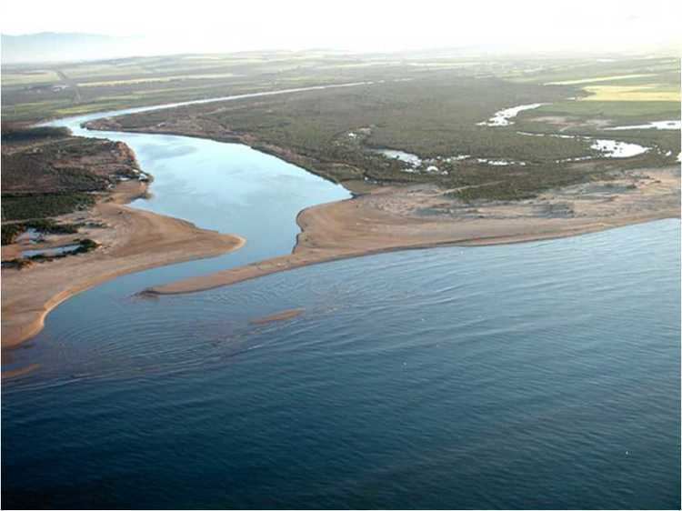
The Moulouya River (Wadi Muluya, Arabic: وادي ملوية) is a 520 km-long river in Morocco. Its sources are located in the Jbel Ayachi in the Middle Atlas. It empties into the Mediterranean Sea near Saïdia, in northeast Morocco at about 35.1228°N 2.3367°W / 35.1228; -2.3367.
Contents
Map of Oued Moulouya, Morocco
Water level in the river often fluctuates. The river is used for irrigation and is dammed by the Hassan II and Mohamed V Dams.
History
The Romans called this river Malva. The Moulouya River formed the eastern border of the Rif Republic in the 1920s, a small part of Morocco containing important cities like Saïdia and Oujda lying to the east, between the Moulouya and the border with Algeria. Until 1956 the river also formed the eastern border of the Spanish Protectorate of Morocco.
Ecology
In August 2011 fish were killed by pollutants in the Moulouya River and local residents feared for their crops and livestock.