
Vehicle registration MY | Time zone EET (UTC+2) Local time Sunday 8:56 PM | |
 | ||
Weather 13°C, Wind SW at 5 km/h, 87% Humidity | ||
Lemnos greece moudros atlasvisual
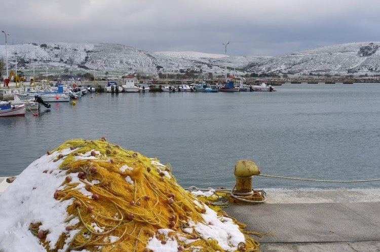
Moudros (Greek: Μούδρος) is a town and a former municipality on the island of Lemnos, North Aegean, Greece. Since the 2011 local government reform it is part of the municipality Lemnos, of which it is a municipal unit. It covers the entire eastern peninsula of the island, with a land area of 185.127 km², covering 38.8% of the island's territory. The municipal seat was the town of Moúdros (pop. 974). Its next largest town is Kontopoúli (623). The municipal unit's total population was 3,925 in the 2011 census.
Contents
Map of Moudros, Greece
History
During the Dardanelles Campaign of the First World War, the town and its harbour were used as an Allied base, commanded by Admiral Rosslyn Wemyss. The British Empire troops used the form: Mudros.
On 30 October 1918, it was the site of the signing of the Armistice of Mudros, which saw the end of hostilities between the Ottoman Empire and the Allies.
Subdivisions
The municipal unit Moudros is subdivided into the following communities (constituent villages in brackets):