PIN 522016 Local time Sunday 7:15 PM | Time zone IST (UTC+5:30) Telephone code 91(0)8645 | |
 | ||
Weather 31°C, Wind SE at 14 km/h, 66% Humidity | ||
Mothadaka is a village which is situated in the Guntur district of Andhra Pradesh, India. It is located 22 km away from Guntur and 12 km from Amaravathi.
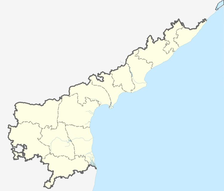
Map of Mothadaka, Andhra Pradesh 522016
The village is also having a ZP School that was established in 1959. This is the only government school that teaches till 10th standard for almost 10 villages surrounding to Motadaka though there are some private and self-employed schools.In 2009 an engineering college was set up by Chalapati Institutions.
It is surrounded by three hills on three sides. The village represents the rural culture, Most of them depending upon the cultivation. The population of the village is 6700, the majority of which are Hindus.next majority of which are Muslims and Other religious groups are Christians.
The village has a Lord Rama temple built by Nimmagadda's,a Lord Shiva temple, a Lord Anjineya temple, a mosque, a church and a recently built Sai Baba temple. Mothadaka is also home to some of the computerised banking facilities of the State Bank of India (code: 1915).
