
Country United States FIPS code 29-50168 Elevation 232 m Population 197 (2013) Area code 816 | Time zone Central (CST) (UTC-6) GNIS feature ID 0722669 Zip code 64073 Local time Sunday 3:58 AM | |
 | ||
Weather 11°C, Wind SE at 13 km/h, 33% Humidity Area 5.413 km² (5.387 km² Land / 3 ha Water) | ||
Mosby missouri evacuated after storms due to heavy flooding
Mosby is a city in Clay County, Missouri, United States, along the Fishing River. The population was 190 at the 2010 census.
Contents
- Mosby missouri evacuated after storms due to heavy flooding
- Map of Mosby MO USA
- History
- Geography
- 2010 census
- 2000 census
- References
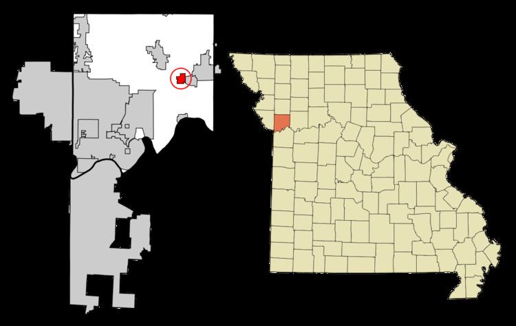
Map of Mosby, MO, USA
History
A post office called Mosby was established in 1887, and remained in operation until 1999. The city was named after A. G. Mosby, the original owner of the site.
Geography
Mosby is located at 39°18′51″N 94°18′12″W (39.314190, -94.303369).
According to the United States Census Bureau, the city has a total area of 2.09 square miles (5.41 km2), of which, 2.08 square miles (5.39 km2) is land and 0.01 square miles (0.03 km2) is water.
2010 census
As of the census of 2010, there were 190 people, 72 households, and 47 families residing in the city. The population density was 91.3 inhabitants per square mile (35.3/km2). There were 87 housing units at an average density of 41.8 per square mile (16.1/km2). The racial makeup of the city was 97.4% White, 1.1% African American, 0.5% Asian, 0.5% from other races, and 0.5% from two or more races. Hispanic or Latino of any race were 1.6% of the population.
There were 72 households of which 29.2% had children under the age of 18 living with them, 47.2% were married couples living together, 9.7% had a female householder with no husband present, 8.3% had a male householder with no wife present, and 34.7% were non-families. 26.4% of all households were made up of individuals and 7% had someone living alone who was 65 years of age or older. The average household size was 2.64 and the average family size was 3.21.
The median age in the city was 40.3 years. 20.5% of residents were under the age of 18; 13.6% were between the ages of 18 and 24; 21.5% were from 25 to 44; 33.6% were from 45 to 64; and 10.5% were 65 years of age or older. The gender makeup of the city was 56.3% male and 43.7% female.
2000 census
As of the census of 2000, there were 242 people, 79 households, and 57 families residing in the city. The population density was 157.3 people per square mile (60.7/km²). There were 94 housing units at an average density of 61.1 per square mile (23.6/km²). The racial makeup of the city was 91.32% White, 0.41% Native American, 2.07% Asian, 1.65% from other races, and 4.55% from two or more races. Hispanic or Latino of any race were 1.65% of the population.
There were 79 households out of which 44.3% had children under the age of 18 living with them, 54.4% were married couples living together, 11.4% had a female householder with no husband present, and 27.8% were non-families. 22.8% of all households were made up of individuals and 11.4% had someone living alone who was 65 years of age or older. The average household size was 3.06 and the average family size was 3.54.
In the city the population was spread out with 36.8% under the age of 18, 7.9% from 18 to 24, 34.7% from 25 to 44, 14.0% from 45 to 64, and 6.6% who were 65 years of age or older. The median age was 28 years. For every 100 females there were 128.3 males. For every 100 females age 18 and over, there were 112.5 males.
The median income for a household in the city was $33,333, and the median income for a family was $33,250. Males had a median income of $30,263 versus $14,688 for females. The per capita income for the city was $12,617. About 20.0% of families and 18.7% of the population were below the poverty line, including 26.2% of those under the age of eighteen and none of those sixty five or over.