
Elevation 1,340 m | ||
 | ||
Similar Morro da Boa Vista, Pico do Monte Negro, Pico Paraná, Morro da Igreja, Cerro Peró | ||
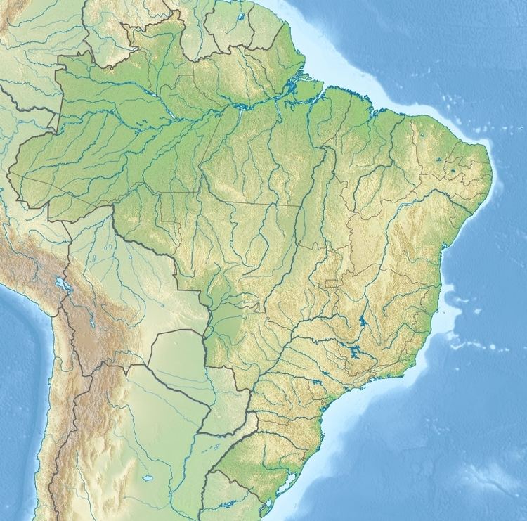
Morro do Capão Doce is a hill in southern Brazil located between the states of Paraná and Santa Catarina. It reaches a height of 1,340 metres (4,396 ft) and consists of a rounded elevation, rising above the surrounding land and has local relief of less than 300m. Its drainage basins include the Paraná, Rio de la Plata and the Atlantic Ocean.
Map of Morro do Cap%C3%A3o Doce, %C3%81gua Doce - State of Santa Catarina, Brazil
References
Morro do Capão Doce Wikipedia(Text) CC BY-SA