
Incorporated 26 November 2008 Time zone WIT (UTC+9) | Capital Daruba Area 1,800 km² | |
 | ||
Morotai Island Regency (Indonesian: Kabupaten Pulau Morotai) is a regency of North Maluku province, Indonesia, located on Morotai Island. The population was 52,860 at the 2010 Census.
Contents
- Map of Morotai Island Regency North Maluku Indonesia
- History
- World War II
- Geography
- Administration
- Economy
- Energy
- Morotai Aerodrome
- References
Map of Morotai Island Regency, North Maluku, Indonesia
History
During the fifteenth and sixteenth centuries, Morotai was generally within the sphere of influence of the powerful sultanate on the island of Ternate. It was the core of a larger region, called Moro, that included the island and the coastline of Halmahera closest to Morotai to the south.
In the mid-sixteenth century, the island was also the site of a Portuguese Jesuit mission. The Muslim states on Ternate and Halmahera resented the outpost for its proselytising activities, and managed to drive the mission from the island in 1571, as a part of a larger Portuguese retreat in the region. In the seventeenth century, Ternate further exerted its power over Morotai by repeatedly forcing major parts of the population to move off the island. Early in the century most of the population was moved to Dodinga, a small town in a strategic spot on Halmahera's west coast. Later, in 1627 and 1628, Sultan Hamzah of Ternate had much of the Christian population of the island moved to Malayu, on Ternate, where they could be more easily controlled.
World War II
The island was captured by the Japanese in early 1942. Morotai's southern plain was taken by American forces in September 1944 during the Battle of Morotai, and used as a staging point for the Allied invasion of the Philippines in early 1945, and of Borneo in May and June of that year. Japanese soldier Teruo Nakamura was discovered in the Morotai jungle in 1974, as one of the World War II Japanese soldiers who held out subsequent to the Japanese military's surrender.
Geography
Morotai is a rugged, forested island lying to the north of Halmahera. It has an area of some 1,800 square kilometres (690 sq mi), stretching 80 kilometres (50 mi) north-south and no more than 42 kilometres (26 mi) wide. The regency's largest town is Daruba, on the island's south coast. Almost all of Morotai's numerous villages are coastal settlements; a paved road linking those on the east coast starts from Daruba and will eventually reach Berebere, the principal town on Morotai's east coast, 68 kilometres (42 mi) from Daruba.
Administration
The regency is divided into five districts (kecamatan), tabulated below with their 2010 Census population.
Economy
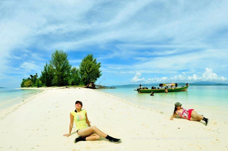
The island is heavily wooded and produces timber and resin and has a subsistence fishing industry. In October 2010, the Indonesia government requested assistance of the Republic of China (Taiwan) to help exploiting this island. In 2011 the company PT Halmahera Development & Investment was looking to invest in eco-tourism on the island of Morotai; also small projects to help the people and children of morotai are being planned or unfold like "Help Morotai" a small non-profit origination that is focused on helping children of the Island.
Energy
Currently 3MW Diesel generators across 3 locations one with 2MW, and 2 at 0.5MW. The electrification ratio is reported as 80%. Eight potential locations for micro-hydro were identified by ESDM/KKP.
Morotai Aerodrome
The provincial government make an effort to turn Pitu Airport into an international aerodrome to boost tourists. 'Pitu' means seven due to they have seven lanes of take off and landing built in World War II.