
Population (2008) 465 Local time Sunday 4:34 AM | Canton Les Aix-d'Angillon Area 30.53 km² | |
 | ||
Intercommunality Hautes Terres en Haut Berry Weather 9°C, Wind W at 18 km/h, 89% Humidity | ||
Morogues is a commune in the Cher department in the Centre region of France.
Contents
Map of 18220 Morogues, France
Geography
An area of forestry, vineyards and farming, comprising the village and a couple of hamlets situated some 15 miles (24 km) northeast of Bourges, at the junction of the D185 with the D59 and D212 roads.
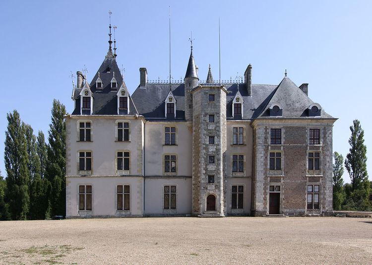
Sights
References
Morogues Wikipedia(Text) CC BY-SA