
Elevation 2,260 m | Topo map USGS MOAPA PEAK NW Prominence 1,224 m | |
 | ||
Similar Harris Mountain, McFarland Peak, Gass Peak, Hayford Peak, Grapevine Peak | ||
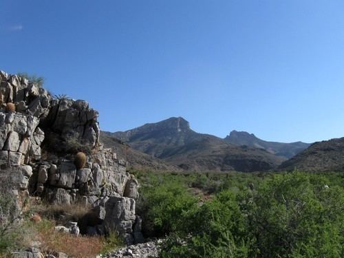
Mormon Peak is the highest mountain in the Mormon Mountains of Lincoln County in Nevada, United States. It is the most topographically prominent peak in Lincoln County and ranks twenty-fourth among the most topographically prominent peaks in Nevada. The peak is on public land administered by the Bureau of Land Management and thus has no access restrictions.
Map of Mormon Peak, Nevada 89008, USA
References
Mormon Peak (Nevada) Wikipedia(Text) CC BY-SA