
Country India District Morigaon PIN 782105 Population 29,164 (2001) ISO 3166 code ISO 3166-2:IN | Time zone IST (UTC+5:30) Vehicle registration AS Local time Sunday 6:02 AM | |
 | ||
Weather 17°C, Wind NE at 8 km/h, 95% Humidity | ||
Crowd at jonbeel mela dayangbelguri morigaon assam
Morigaon (Pron: mʌrɪˈgãʊ) is a town of town area committee and the district headquarters of Morigaon district in the Indian state of Assam and including the headquarters of The Tiwa Autonomous Council (TAC), Tiwashong, Assam which was constituted by the Government of Assam on 14 April 1995, The Apex council will consist of 144 villages of Nagaon, Morigaon and Kamrup with 28 blocks. Pincode of Morigaon town is 782105.
Contents
- Crowd at jonbeel mela dayangbelguri morigaon assam
- Map of Morigaon Assam 782105
- A visit to morigaon in assam
- Demographics
- Politics
- Transport
- Banks
- Education
- References
Map of Morigaon, Assam 782105
A visit to morigaon in assam
Demographics
As of 2001 India census, Morigaon had a population of 20,807. Males constitute 52% of the population and females 48%. Morigaon has an average literacy rate of 76%, higher than the national average of 59.5%: male literacy is 81%, and female literacy is 72%. In Morigaon, 12% of the population is under 6 years of age.
Politics
Morigaon is part of Nowgong (Lok Sabha constituency).
Transport
National Highway 37 (India) and the Guwahati–Lumding section operated by Indian Railways' North East Frontier Railway pass through Jagiroad. Jagiroad is also connected with Morigaon by Morigaon Road.
Nearest railway station to Morigaon are
Major Railway Stations near Morigaon Assam India
Banks
Morigaon town almost have all the major banks and ATM. Banks and their branches:
Education
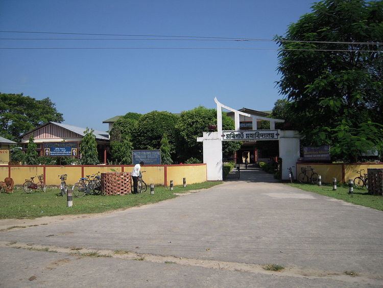
Morigaon town many good colleges and school with high average quality of teacher. Most of the student have to opt for tuition to get the completed knowledge of their subject.
Major colleges in Morigaon:
Major Public schools in Morigaon
Other schools: