
Elevation 168 m Local time Saturday 4:52 PM | Area 39.22 km² | |
 | ||
Weather 11°C, Wind W at 32 km/h, 67% Humidity | ||
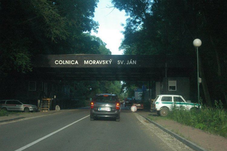
Moravský Svätý Ján is a village and municipality in Senica District in the Trnava Region of western Slovakia.
Contents
Map of Moravsk%C3%BD Sv%C3%A4t%C3%BD J%C3%A1n, Slovakia
History
In historical records the village was first mentioned in 1449. Under the names SZ.JANOS then ST.JOHANN IN UNGARN in the Austrian Empire. It is ruled by the Kingdom of Hungary until 1918 under the name Morva-Sz-Janos.
Geography
The municipality lies at an altitude of 168 metres and covers an area of 39.219 km². It has a population of about 2074 people.
References
Moravský Svätý Ján Wikipedia(Text) CC BY-SA