
 | ||
Morava Peak (Bulgarian: връх Морава, ‘Vrah Morava’ \'vr&h mo-'ra-va) is the peak rising to 966 m in the northeast extremity of Trakiya Heights on Trinity Peninsula, Antarctic Peninsula. Situated 1.72 km northeast of Mount Daimler, 4.94 km east of Irakli Peak and 6.1 km south-southwest of Gigen Peak. Surmounting Russell East Glacier to the north and east.
Contents
Map of Morava Peak, Antarctica
The peak is named after the settlement of Morava in northern Bulgaria.
Location
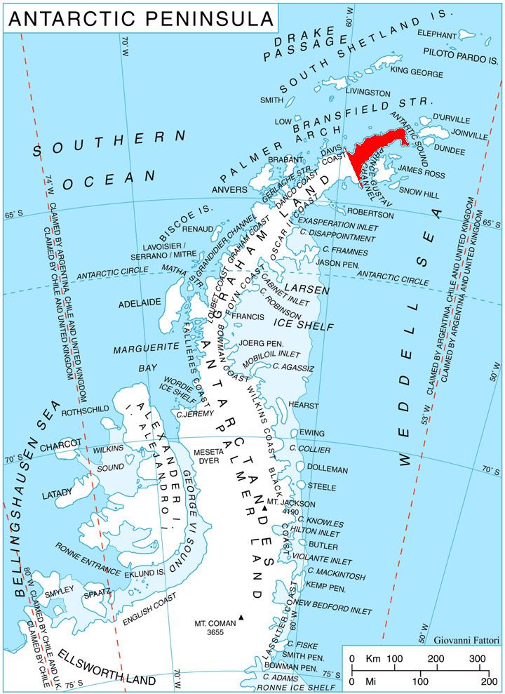
Morava Peak is located at 63°44′15″S 58°28′14″W. German-British mapping in 1996.
Maps
References
Morava Peak Wikipedia(Text) CC BY-SA