Country United States County Nevada County Local time Saturday 5:45 AM | State California Elevation 1,263 m | |
 | ||
Weather 11°C, Wind SE at 8 km/h, 62% Humidity | ||
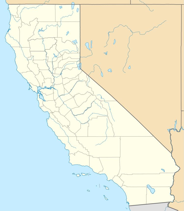
Moores Flat (variant: Moore's Flat; formerly, Clinton) is a former settlement in Nevada County, California. It is situated at an elevation of 4,144 ft (1,263 m) above sea level. Moores Flat is located on the 4.25 miles (6.8 km) north-northeast of North Bloomfield.
Contents
Map of Moores Flat, CA 95959, USA
Gold rush history
Moores Flat was settled between 1851 and 1852 as a gold rush site with "Marks & Co." one of its few known gold dust dealers. Gold was found buried in tertiary gravel channels.
In 1880, the population was 50. By the early 1900s, its town declined quickly.
The Clinton post office opened in 1854; the name was changed to Moores Flat in 1857. It closed for a time in 1903, and closed for good in 1910. The miner and California State Assemblyman, S. L. Blackwell, was associated with the town's post office in 1880.
The name honors H.M. Moore who built the first house and a store there in 1851.
