
Country United States ZIP codes 40350 Elevation 301 m Population 228 (2010) | Time zone Eastern (EST) (UTC-5) GNIS feature ID 498562 Local time Saturday 8:40 AM | |
 | ||
Weather 8°C, Wind SW at 14 km/h, 98% Humidity | ||
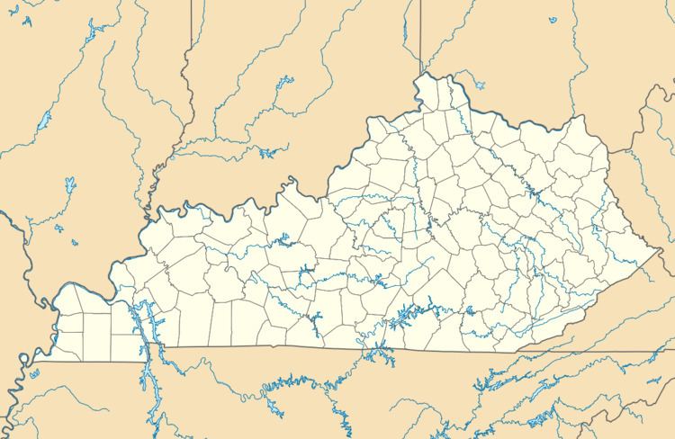
Moorefield is an unincorporated community in Nicholas County, Kentucky, United States. It lies along Routes 36 and 57 southeast of the city of Carlisle, the county seat of Nicholas County. Its elevation is 988 feet (301 m). Although it is unincorporated, it has a post office, with the ZIP code of 40350.
Contents
Map of Moorefield, KY 40311, USA
Notable people
References
Moorefield, Kentucky Wikipedia(Text) CC BY-SA