
Population 5,283 (2011 census) Postal code 3189 Federal division Division of Hotham | Postcode(s) 3189 Area 4.6 km² Local time Saturday 11:08 PM | |
 | ||
Weather 21°C, Wind E at 6 km/h, 56% Humidity | ||
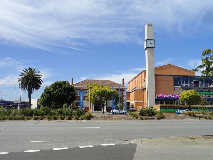
Moorabbin is a suburb in Melbourne, Victoria, Australia, 15 km south-east of Melbourne's central business district. Its local government area is the City of Kingston. At the 2011 Census, Moorabbin had a population of 5,283.
Contents
Map of Moorabbin VIC 3189, Australia
Most of the eastern side of Moorabbin has been an industrial area since the first development in the mid-1960s. Major industries with a presence in the area include Philip Morris and Coca-Cola. Moorabbin is also well known locally for its residential area built after World War II.
Transport
While by name Moorabbin would appear to be home to the regional general airport Moorabbin Airport, the airport, also called the Harry Hawker Airport, is its own suburb, sharing the postcode of 3194 with Mentone. Moorabbin is serviced by a variety of Public Transport Victoria bus and train services including Moorabbin Station.
History
The word Moorabbin is believed to have come from the Aboriginal word moorooboon meaning a resting place.
The Post Office opened on 1 September 1857 as South Brighton, was renamed Brighton South around 1886 and Moorabbin in 1909. The Moorabbin East Post Office near Chesterville Road opened in 1960.
The seat of local government moved from Moorabbin to Cheltenham when the former City of Moorabbin was incorporated into the larger City of Kingston.
In August 1998, Moorabbin was the scene of the Silk-Miller police murders.
Housing
Housing in Moorabbin comprises mainly 3-bedroom red or cream brick detached houses built between the 1950s and 1970s. More recently villa units and townhouses have been built.
Education
The Moorabbin Campus of the Holmesglen Institute of TAFE is located in Moorabbin, the campus formerly belonging to the Chisholm Institute and before that was the location of Moorabbin Technical College. Moorabbin has two public primary schools (Moorabbin Primary, Southmoor Primary) and one Catholic primary (St. Catherines Primary).
Moorabbin High School closed in 1984 but the former campus is now being used by the Bayside Special Development School, which provides individual programs for children with special needs. The Gould League also uses the former Moorabbin High School site and specializes in education that relates to the environment and sustainability.
Sport
The suburb has an Australian Rules football team, Moorabbin Kangaroos Football Club, competing in the Southern Football League.
The football and cricket venue in the suburb is Moorabbin Oval, located in Linton Street. The ground was used by the St Kilda Football Club in VFL/AFL games between 1965 and 1992, and continued to serve as its training and administrative home ground until 2010. St Kilda Football Club is scheduled to return in 2018.