
Established 1800s (approx.) State electorate(s) Nanango Postal code 4406 | Postcode(s) 4406 Elevation 460 m | |
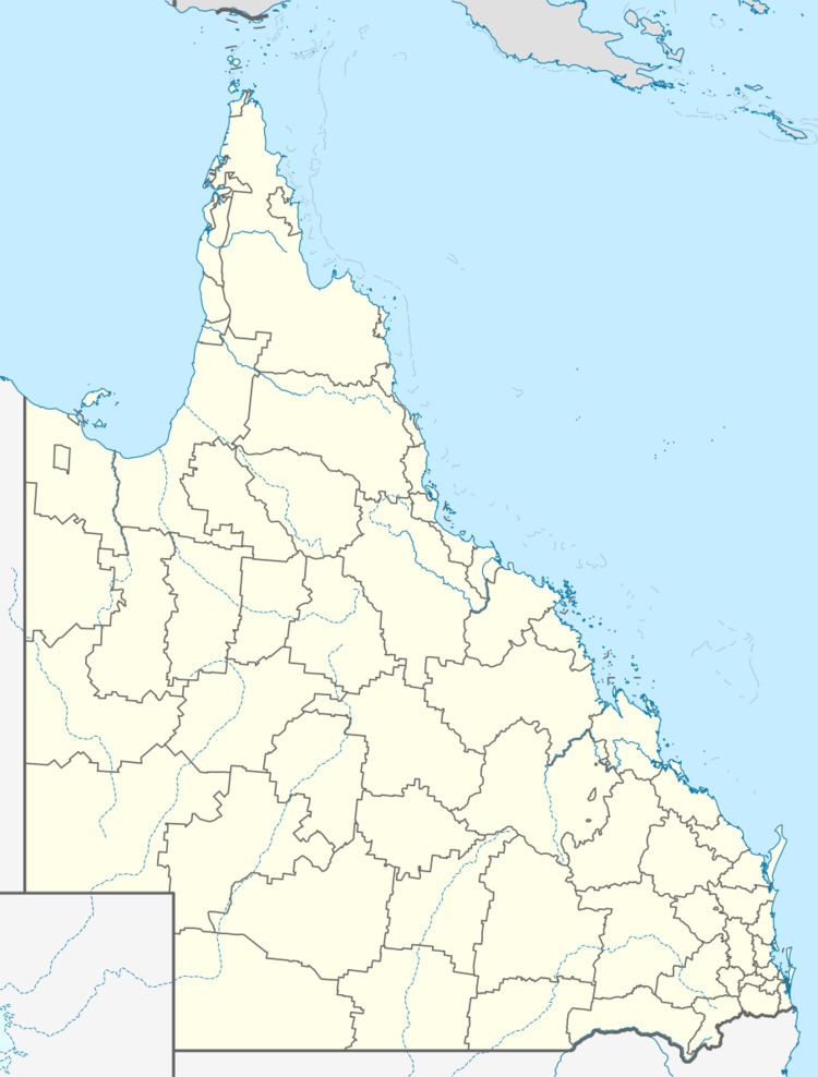 | ||
Population 325 (2006 census) (2006 Census) Location 203 km (126 mi) NW of Brisbane38 km (24 mi) NE of Dalby19 km (12 mi) N of Bowenville14 km (9 mi) SE of Kaimkillenbun LGA(s) Western Downs Regional Council Weather 24°C, Wind S at 8 km/h, 70% Humidity | ||
Moola is a town in the Western Downs Regional Council local government area in Queensland, Australia 20 kilometres (12 mi) north of the Warrego Highway east of Dalby. At the 2006 census, Moola had a population of 325.
History
Moola Post Office opened by 1915 closed in 1962.
References
Moola, Queensland Wikipedia(Text) CC BY-SA