
Time zone CET/CEST (UTC+1/+2) Area 3.95 km² Population 637 (31 Dec 2008) Dialling code 06244 | Elevation 219 m (719 ft) Postal codes 55234 Local time Saturday 10:15 AM Postal code 55234 | |
 | ||
Weather 7°C, Wind SW at 29 km/h, 89% Humidity | ||
Monzernheim is an Ortsgemeinde – a municipality belonging to a Verbandsgemeinde, a kind of collective municipality – in the Alzey-Worms district in Rhineland-Palatinate, Germany.
Contents
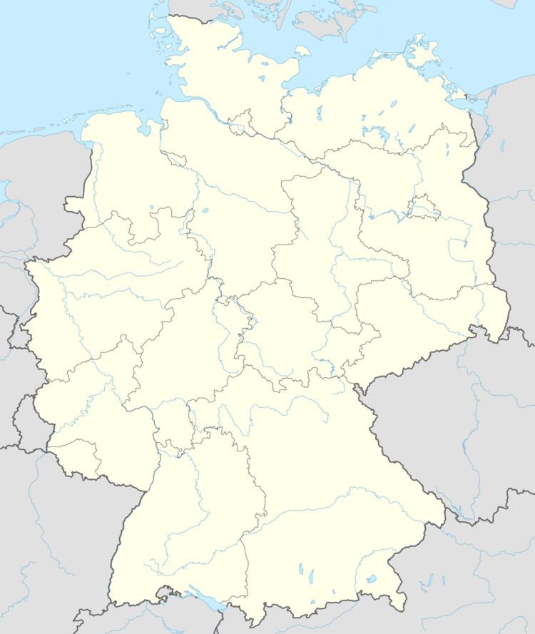
Map of Monzernheim, Germany
Location
As a winegrowing centre, Monzernheim lies in Germany’s biggest winegrowing district, in the middle of Rhenish Hesse. It belongs to the Verbandsgemeinde of Wonnegau, whose seat is in Osthofen.
Municipal council
The council is made up of 12 council members, who were elected by majority vote at the municipal election held on 7 June 2009, and the honorary mayor as chairman.
Coat of arms
The municipality’s arms might be described thus: Per fess sable a demi-lion rampant Or armed, langued and crowned gules, and argent a bunch of grapes palewise leafed of two and couped vert.
References
Monzernheim Wikipedia(Text) CC BY-SA