
Country United States FIPS code 39-51842 Elevation 393 m Zip code 44064 Area code 440 | Time zone Eastern (EST) (UTC-5) GNIS feature ID 1086156 Population 1,990 (2010) Local time Saturday 3:55 AM | |
 | ||
Weather 0°C, Wind S at 6 km/h, 97% Humidity Area 63.71 km² (62.68 km² Land / 129 ha Water) | ||
Montville Township is one of the sixteen townships of Geauga County, Ohio, United States. As of the 2010 census the population was 1,990,
Contents
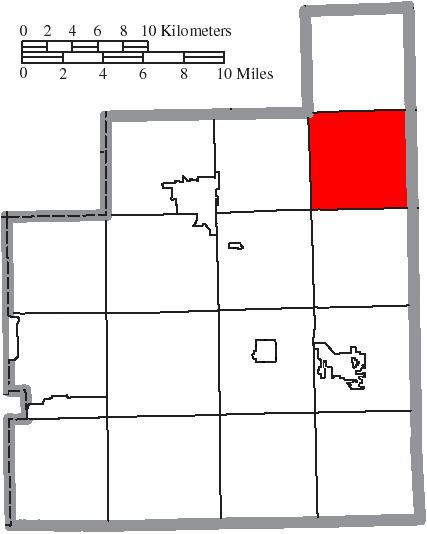
Map of Montville Township, OH, USA
Geography
Located in the northeastern part of the county, it borders the following townships:
No municipalities are located in Montville Township, although the unincorporated community of Montville lies at the center of the township.
The Cuyahoga River begins in Montville Township.
Name and history
Statewide, the only other Montville Township is located in Medina County.
The township includes a house that was once a stop on the Underground Railroad. The house still stands on the southeast corner of the intersection of U.S. Route 6 and State Route 528.
Government
The township is governed by a three-member board of trustees, who are elected in November of odd-numbered years to a four-year term beginning on the following January 1. Two are elected in the year after the presidential election and one is elected in the year before it. There is also an elected township fiscal officer, who serves a four-year term beginning on April 1 of the year after the election, which is held in November of the year before the presidential election. Vacancies in the fiscal officership or on the board of trustees are filled by the remaining trustees.
Education
Montville Township formerly fell under the Ledgemont School District but was absorbed by the Berkshire School District in Burton.