Intercommunality Val Parisis Area 4.07 km² | Region Île-de-France Canton Herblay Population (2013) 20,307 Local time Saturday 6:19 AM | |
 | ||
Weather 9°C, Wind W at 19 km/h, 82% Humidity | ||
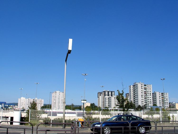
Montigny-lès-Cormeilles ([mɔ̃.ti.ɲi.lɛ.kɔʁ.mɛj]) is a commune in the northwestern suburbs of Paris, France. It is located 19.0 km (11.8 mi) from the center of Paris.
Contents
Map of 95370 Montigny-l%C3%A8s-Cormeilles, France
History
On 30 March 1922, a part of the territory of Montigny-lès-Cormeilles was detached and merged with a part of the territory of Taverny and a part of the territory of Pierrelaye to create the commune of Beauchamp.
Transport
Montigny-lès-Cormeilles is served by Montigny – Beauchamp station on Paris RER line C and on the Transilien Paris – Nord suburban rail line.
Montigny-lès-Cormeilles is also served by La Frette – Montigny station on the Transilien Paris – Saint-Lazare suburban rail line. This station, although administratively located on the territory of the neighboring commune of La Frette-sur-Seine, lies in fact very near the town center of Montigny-lès-Cormeilles.
