
Country France Population (2006) 33,135 Area 5.71 km² | Region Île-de-France Canton Montfort-l'Amaury Time zone CET (UTC+1) Local time Saturday 4:35 AM | |
 | ||
Weather 8°C, Wind SW at 23 km/h, 82% Humidity | ||
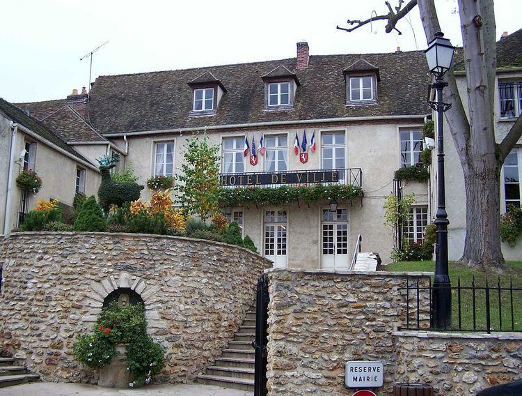
Montfort-l'Amaury is a commune in the Yvelines department in the Île-de-France region in north-central France. It is located in the south-western suburbs of Paris 20 km (12 mi) north of Rambouillet. The name comes from Amaury I de Montfort, the first count of Montfort.
Contents
Map of 78490 Montfort-l'Amaury, France
Geography
Montfort-l'Amaury lies north of the Rambouillet Forest. It is located at the foot of low hills, at about 130 m above sea level.
History
King Robert II built a castle in 996 in the hills of Montfort. Montfort-l'Amaury was the stronghold of the Montfort family from the start of the 11th century. Amaury I built the ramparts.
The Comté de Montfort was related to the Duchy of Brittany following the marriage of Yolande de Dreux-Montfort with Arthur of Brittany in 1294. It returned to the crown of France when Brittany became a part of France under Francis I. The castle was destroyed by the English during the Hundred Years' War.