
Demonym(s) Monteluponesi Area 32.7 km² Postal code 62010 | Elevation 272 m (892 ft) Time zone CET (UTC+1) Local time Saturday 2:40 AM Dialling code 0733 | |
 | ||
Frazioni Aneto/Becerica, Canneggiano, Case Bruciate, Castelletta, Cervare, Colle Forche, Fonte Pianella, Fonterosa, Isola, Montenovo, San Firmano, San Martino, San Matteo, Sant'Agostino Sbarre, Sbarre Weather 14°C, Wind NE at 14 km/h, 40% Humidity | ||
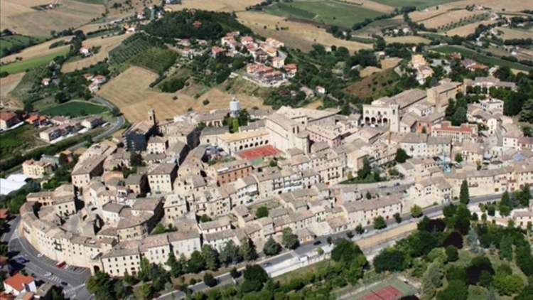
Montelupone is a comune (municipality) in the Province of Macerata in the Italian region Marche, located about 30 kilometres (19 mi) south of Ancona and about 11 kilometres (7 mi) northeast of Macerata.
Contents
Map of 62010 Montelupone Province of Macerata, Italy
Montelupone borders the following municipalities: Macerata, Montecosaro, Morrovalle, Potenza Picena, Recanati.
Main sights
References
Montelupone Wikipedia(Text) CC BY-SA