
Demonym(s) Montelibrettesi Dialing code 0774 Local time Saturday 2:36 AM Region Latium | Elevation 232 m (761 ft) Time zone CET (UTC+1) Area 44 km² Postal code 00010 Dialling code 0774 | |
 | ||
Frazioni Pianabella di Montelibretti, Passo Corese (together with the comune of Fara in Sabina), Borgo Santa Maria, Montemaggiore Weather 9°C, Wind E at 8 km/h, 69% Humidity Province Metropolitan City of Rome Capital (RM) | ||
Montelibretti is a town and comune (municipality) in the Metropolitan City of Rome in the Italian region Lazio, located about 30 kilometres (19 mi) northeast of Rome on the slopes of Monti Sabini.
Contents
Map of 00010 Montelibretti Rome, Italy
Montelibretti borders the following municipalities: Capena, Fara in Sabina, Fiano Romano, Monterotondo, Montopoli di Sabina, Montorio Romano, Moricone, Nerola, Palombara Sabina.
History
The name derives from the presence of a Roman villa owned by Caius Brutius Presentis, Commodus' father-in-law. In the Middle Ages, starting from the 15th century, it was a fortress of the Orsini, who were succeeded by the Barberini and then by the Sciarra.
In 1867 it was the location of a battle between Garibaldine and Papal troops, in the course of the Battle of Mentana.
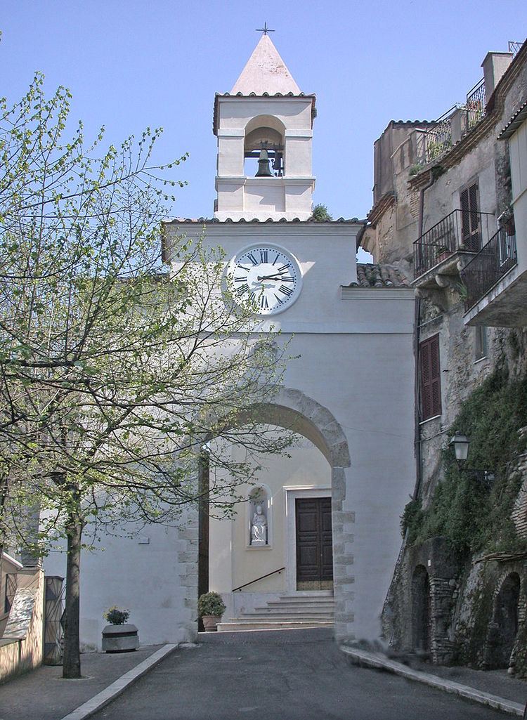
Main sights
References
Montelibretti Wikipedia(Text) CC BY-SA