
Elevation 500 m (1,600 ft) Time zone CET (UTC+1) Postal code 05017 Local time Saturday 2:35 AM Dialling code 0763 | Demonym(s) Monteleonesi Area 23.9 km² | |
 | ||
Frazioni Colle, San Lorenzo, Santa Maria, Spiazzolino Weather 7°C, Wind NE at 5 km/h, 66% Humidity | ||
01 monteleone d orvieto estate 1969
Monteleone d'Orvieto is a comune (municipality) in the Province of Terni in the Italian region Umbria, located about 35 km southwest of Perugia and about 60 km northwest of Terni.
Contents
- 01 monteleone d orvieto estate 1969
- Map of 05017 Monteleone Dorvieto Province of Terni Italy
- Monteleone d orvieto italy
- History
- Main sights
- References
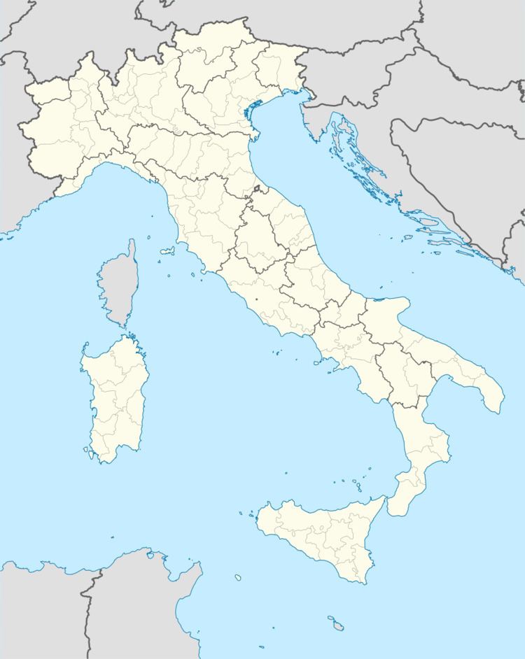
Map of 05017 Monteleone D'orvieto Province of Terni, Italy
Monteleone d orvieto italy
History
According to 16th century historian Cipriano Manente, Monteleone was founded by the comune of Orvieto in 1052, as a castle guarding its northern boundaries. In 1373 Emperor Charles IV assigned it to the viscounts of Turrena, and later it was contended by several local barons such as the Corbara family and a nephew of Pope Sixtus IV. In 1481 it was returned to Orvieto.
In 1643, during the War of Castro fought between the Barberini Pope Urban VIII and the house of Farnese, Monteleone was besieged and destroyed by the troops of Florence.
Main sights
References
Monteleone d'Orvieto Wikipedia(Text) CC BY-SA