
Country United States Time zone PST (UTC-8) | Zip code 90031 | |
 | ||
Restaurants Corn Man, La Chuperia, Mom's Tamales, WENDY'S TORTAS, Blazing Stone Pizza | ||
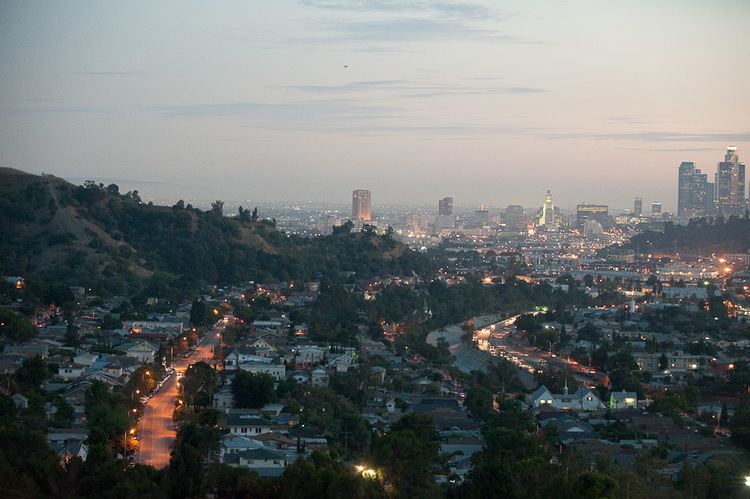
Montecito Heights is a small district in Northeast Los Angeles formerly known as an original East Los Angeles area of Los Angeles, California. The 2000 population is estimated at 16,768.
Contents
- Map of Montecito Heights Los Angeles CA USA
- Geography and transportation
- The neighborhood
- Landmarks
- Notable residents
- References
Map of Montecito Heights, Los Angeles, CA, USA
Geography and transportation
Montecito Heights' boundaries are roughly the Pasadena Freeway (SR 110) or the Arroyo Seco on the northwest, Pasadena Avenue on the west, Avenue 33 to the south, Huntington Drive to the southeast, and Monterey Road to the east. Neighboring districts include Monterey Hills on the northeast, El Sereno on the southeast, Lincoln Heights on the southwest, Mount Washington on the northwest, and Highland Park on the north. Owing to the rugged terrain, no major thoroughfares run through the area. The district is largely in ZIP code 90031.
The neighborhood
Central to just about everything and known by the residents as the 'Wilderness in the City' Montecito Heights sits atop the Monterey Hills that divide the Los Angeles Basin from the San Gabriel Valley. Montecito Heights is a relatively isolated area of greenery and trendy resident home restorers. Some of the city's most spectacular views are available on the district's hills. Along with neighboring Highland Park and Pasadena, it is one of the historic centers of the Arts and Crafts movement.