
Elevation 99 m (325 ft) Time zone CET (UTC+1) Postal code 42027 Dialling code 0522 | Demonym(s) Montecchiesi Area 24.39 km² Local time Saturday 2:10 AM | |
 | ||
Frazioni Aiola, Braglia, Case Badodi, Case Gambetti, Case Pozzi, Cornocchio, Croce, Spadarotta Weather 14°C, Wind SW at 21 km/h, 55% Humidity | ||
Montecchio Emilia is a comune (municipality) in the Province of Reggio Emilia in the Italian region Emilia-Romagna, located about 70 kilometres (43 mi) northwest of Bologna and about 15 kilometres (9 mi) west of Reggio Emilia.
Contents
Map of 42027 Montecchio Emilia, Province of Reggio Emilia, Italy
Montecchio Emilia borders the following municipalities: Bibbiano, Montechiarugolo, Reggio Emilia, San Polo d'Enza, Sant'Ilario d'Enza. It is a largely industrial town located at nearly half the distance between Reggio and the other major nearby city, Parma.
History
In ancient times, it was called Monticulum, meaning "small mount" and referring to the hilly terrain formed by floods of the nearby river Enza. Traces of remains from as earl as the Bronze Age (18th-17th centuries BC) have been found in the communal territory.
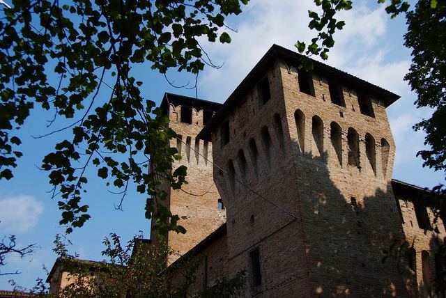
In the Middle Ages and early Modern times Montecchio (mentioned for the first time in a 781 diplom) was a fortified places contended between the Papal States, the Visconti of Milan, the Barbiano, the Sforza, the Gonzaga, the Farnese and then by Spain, France until, starting from the late Renaissance, it became part of the House of Este-held Duchy of Modena.
In 1859 it became part of the newly formed Italy as Montecchio Emilia.