
Elevation 1,345 m | Parent range Ligurian Appennines Province Province of Genoa | |
 | ||
Mountain range Ligurian Appennines, Apennine Mountains Similar Monte Caucaso, Mont Aiona, Monte Zatta, Monte Maggiorasca, Monte Penna | ||
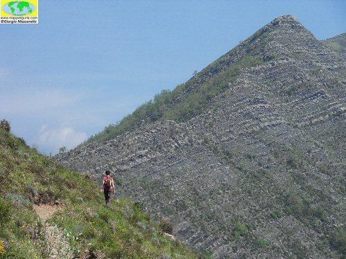
Sul monte ramaceto al bivio sul monte feia in val cichero
Monte Ramaceto is a mountain in Liguria, northern Italy, part of the Ligurian Appennines.
Contents
- Sul monte ramaceto al bivio sul monte feia in val cichero
- Map of Monte Ramaceto 16041 Borzonasca Genoa Italy
- Escursione monte ramaceto
- Hiking
- Nature conservation
- References
Map of Monte Ramaceto, 16041 Borzonasca, Genoa, Italy
Escursione monte ramaceto
Hiking
The mountain is accessible by off-road mountain paths and is crossed by the Alta Via dei Monti Liguri, a long-distance trail from Ventimiglia (province of Imperia) to Bolano (province of La Spezia).
Nature conservation
The mountain and its surrounding area are part of a SIC (Site of Community Importance) called Monte Ramaceto (code: IT1331810 ).
References
Monte Ramaceto Wikipedia(Text) CC BY-SA