
- elevation 56 m (184 ft) Subdivisions 5 | Area 2,632 km² | |
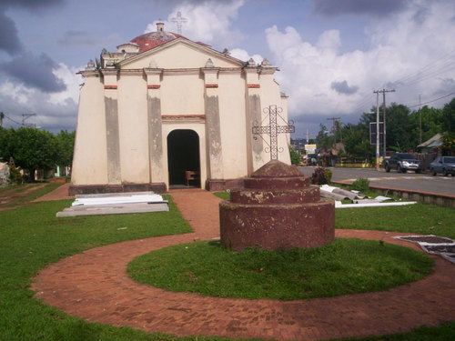 | ||
Monte Plata ([ˈmonte ˈplata]) is a province of the Dominican Republic, and also the name of its capital city. It was split from San Cristóbal in 1992.
Contents
- Map of Monte Plata Province 92000 Dominican Republic
- Municipalities and municipal districts
- Population
- References
Map of Monte Plata Province, 92000, Dominican Republic
Municipalities and municipal districts
The province as of June 20, 2006 is divided into the following municipalities (municipios) and municipal districts (distrito municipal - D.M.) within them:
Population
The following is a sortable table of the municipalities and municipal districts with population figures as of the 2012 census. Urban population are those living in the seats (cabeceras literally heads) of municipalities or of municipal districts. Rural population are those living in the districts (Secciones literally sections) and neighborhoods (Parajes literally places) outside of them. For comparison with the municipalities and municipal districts of other provinces see the list of municipalities and municipal districts of the Dominican Republic.