
Mountain type Lava dome Prominence 1,490 m | Parent range Tuscan Antiapennines Elevation 1,738 m | |
 | ||
Similar Monte Labbro, Monte Terminillo, Monte Cetona, Phlegraean Fields, Monte Cimone | ||
Monte amiata una palestra per lo sci
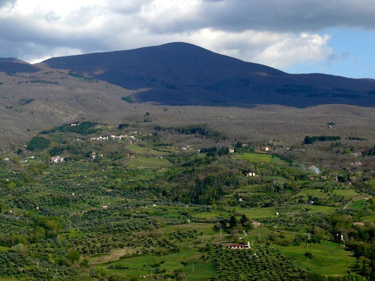
Mount Amiata is the largest of the lava domes in the Amiata lava dome complex located about 20 km northwest of Lake Bolsena in the southern Tuscany region of Italy.
Contents
- Monte amiata una palestra per lo sci
- Map of Mt Amiata 53021 Abbadia San Salvatore Province of Siena Italy
- Destinazione monte amiata
- Geology
- Economy
- References
Map of Mt Amiata, 53021 Abbadia San Salvatore, Province of Siena, Italy
Destinazione monte amiata
Geology
Mount Amiata (La Vetta) is a compound lava dome with a trachytic lava flow that extends to the east. It is part of the larger Amiata complex volcano. A massive viscous trachydacitic lava flow, 5 km long and 4 km wide, is part of the basal complex and extends from beneath the southern base of Corno de Bellaria dome. Radiometric dates indicate that the Amiata complex had a major eruptive episode about 300,000 years ago. No eruptive activity has occurred at Amiata during the Holocene, but thermal activity including cinnabar mineralization continues at a geothermal field near the town of Bagnore, at the SW end of the dome complex.
Economy
The main economical resources of the Amiata region are chestnuts, timber and, increasingly, tourism (ski resorts include the peak area, Prato delle Macinaie, Prato della Contessa, Rifugio Cantore and Pian della Marsiliana). The lower areas are characterized by olive trees and vines. Other vegetation include beech and fir. In ancient times cinnabar was extracted here.
The region is included in the comuni of Abbadia San Salvatore, Arcidosso, Castel del Piano, Piancastagnaio, Santa Fiora and Seggiano, all located between 600 and 800 metres of altitude.