Local time Friday 11:49 PM | Area 27.68 km² | |
 | ||
Intercommunality Bourganeuf et Royère-de-Vassivière Weather 8°C, Wind W at 5 km/h, 83% Humidity | ||
Montboucher is a commune in the Creuse department in the Nouvelle-Aquitaine region in central France.
Contents
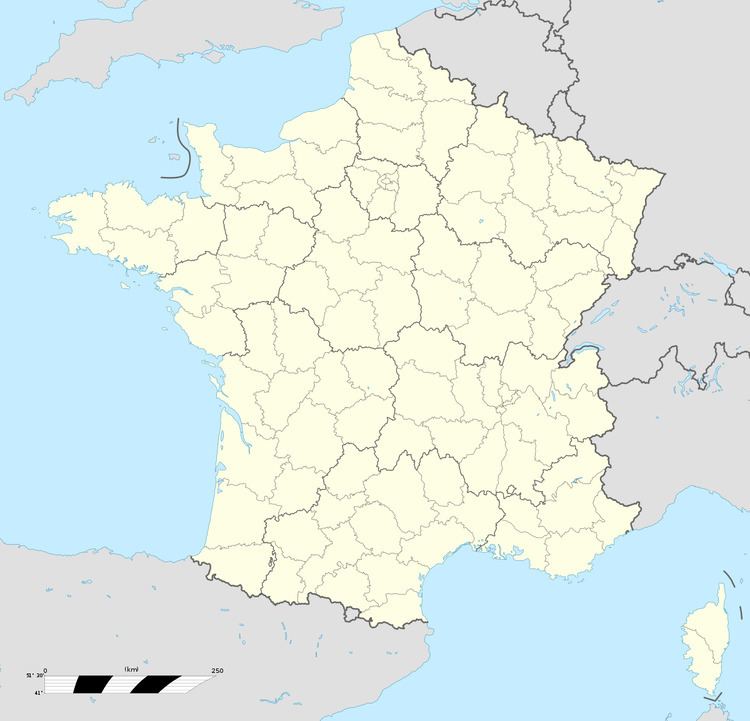
Map of 23400 Montboucher, France
Geography
An area of streams, lakes and farming comprising the village and several hamlets situated some 18 miles (29 km) southwest of Guéret at the junction of the D36, D44 and the D941 roads. The commune is on the border with the departement of Haute-Vienne.
Sights
References
Montboucher Wikipedia(Text) CC BY-SA
