
Population (2009) 3,904 Area 6.5 km² | Canton Montbazon Time zone CET (UTC+1) | |
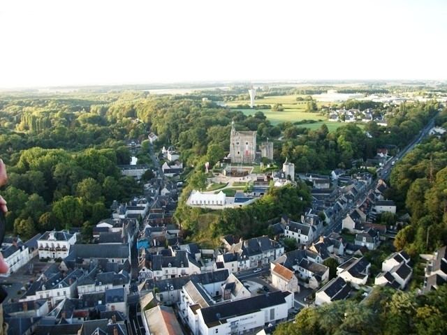 | ||
Montbazon is a commune in the Indre-et-Loire department in central France. It is located on the river Indre between the towns of Veigné, Monts and Sorigny. The town is about 12 km from Tours.
Contents
Map of 37250 Montbazon, France
History
In 991, friars of Cormery complained to the king that Fulk Nerra, lord of Anjou, was building a fortress in their land of Montbazon (he became lord of Montbazon in 997 although he was 17 years old).
From 994, the lofty fortress dominated a strategic point on the Indre river.
Economy
Montbazon has a small industrial park. It groups together small and medium-sized businesses.
Education
There are four schools in the town:
Transportation
There are two buses lines (G and H) which cross the town. Four bus stops are located at:
Media
The town launched an online radio station in 2010. (the link is now dead as of 2014)