
Demonym(s) Monteacutesi Dialing code 0131 Local time Friday 10:16 PM Dialling code 0131 | Elevation 525 m (1,722 ft) Time zone CET (UTC+1) Area 23.7 km² Postal code 15050 | |
 | ||
Weather 11°C, Wind S at 16 km/h, 55% Humidity | ||
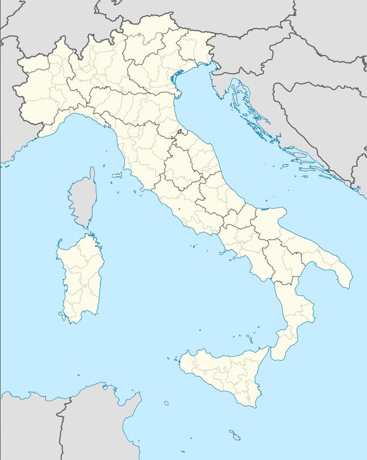
Montacuto is a comune (municipality) in the Province of Alessandria in the Italian region Piedmont, located about 120 kilometres (75 mi) southeast of Turin and about 40 kilometres (25 mi) southeast of Alessandria. As of 31 December 2004, it had a population of 335 and an area of 23.7 square kilometres (9.2 sq mi).
Map of 15050 Montacuto, Province of Alessandria, Italy
Montacuto borders the following municipalities: Albera Ligure, Cantalupo Ligure, Dernice, Fabbrica Curone, Gremiasco, and San Sebastiano Curone.
References
Montacuto Wikipedia(Text) CC BY-SA