
Intercommunality Artois Area 15.85 km² | Canton Dainville Population (2006) 1,033 Local time Friday 10:08 PM | |
 | ||
Weather 7°C, Wind W at 32 km/h, 84% Humidity | ||
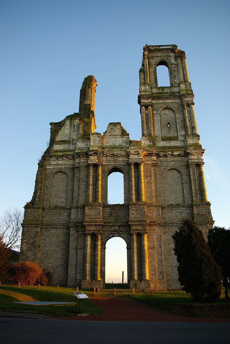
Mont-Saint-Éloi is a commune in the Pas-de-Calais department in the Hauts-de-France region of France.
Contents
Map of 62144 Mont-Saint-%C3%89loi, France
Geography
Mont-Saint-Éloi is situated 5 miles (8 km) northwest of Arras, at the junction of the D341 and the D49 roads, on the banks of the river Scarpe.
Places of interest
References
Mont-Saint-Éloi Wikipedia(Text) CC BY-SA